Location
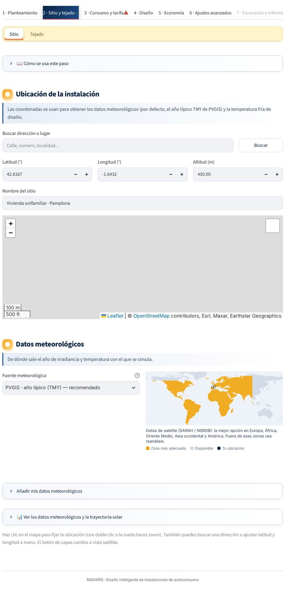
The location sets the position of the Sun at each hour of the year, the climate that is downloaded and the time zone. Without a location you cannot simulate.
How to enter it
- Search for an address. Type the address and press Search; OpenStreetMap (Nominatim) is queried and you choose one of the results. The altitude is filled in automatically with the Open-Meteo elevation service.
- Click on the map. Click on the site.
- Type the coordinates. Latitude and longitude in decimal degrees (north latitude and east longitude positive, for example
42,7896and-1,6496) and altitude in metres.
If the address service does not respond, the application tells you and you can carry on with the coordinates by hand.
What each piece of data is used for
| Data | Use |
|---|---|
| Latitude and longitude | Sun position; download of weather data and horizon; time zone |
| Altitude | Atmospheric pressure and absolute air mass |
| Time zone | Weather data come in UTC; consumption, tariffs and battery work in local time |
Site name
The name you type appears in the report.
Next
Choose the weather data source.
Is something missing or wrong? Write to us at hola@radiaris.com. Last reviewed: 26 October 2026.